Pennsylvania Turnpike Pavement Condition Inventory
Pennsylvania
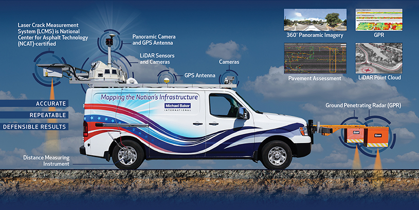
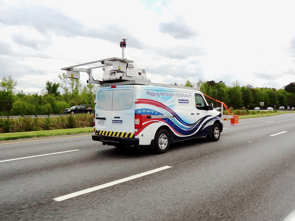
Michael Baker performed a multi-year program for comprehensive pavement and roadway imagery inventory of 1,066 lane miles of the mainline system, and 440 interchange ramps (comprising approximately 258 lane miles) along the Pennsylvania Turnpike (PTC) and its extensions. In addition to pavement data collection using LCMS, our services included geographic information system (GIS) database development, GIS application development, and pavement condition analysis. We also arranged for friction testing for the mainline, extensions and ramps.
Our data analysis summarized pavement data by one-tenth-mile sections using the PTC’s project segments. We collected, analyzed and produced products for International Roughness Index (IRI) values; transverse profiles; identification and measurement of sealed cracks, traverse cracks, longitudinal cracks and alligator cracking; located pavement bleeding and potholes; measured rutting; and determined joint faulting and macro texture. Deliveries included a HTML 5 web-application with video-log interface possessing standard playback functionality. The viewer allows seeing pavement condition and right-of-way extent on a base map.

Innovation
“The PTC relies on us for many professional engineering services. Our in-house LCMS and mobile LiDAR capabilities allow for a stronger engineering partnership with the PTC. We’ve brought better technology and better information necessary for the engineering and management of the roadway itself.”
Larry B.
Project Manager
